Project custom development GIS EN
GIS ATHENS MAPS
- Year 2026
- Customer Municipality of Athens
- Category Custom Development
- Technology -
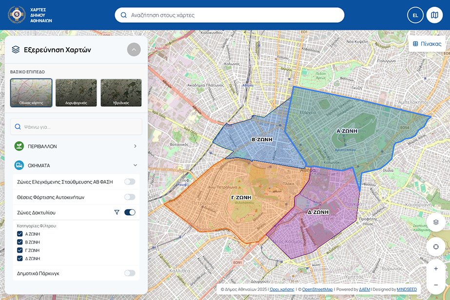
Our team has completed the geospatial data visualization website for the Municipality of Athens. The aim of the project is to optimize access for citizens and businesses to the Municipality's open geospatial data, which is available through the gis.cityofathens.gr platform.
Creation of a microsite
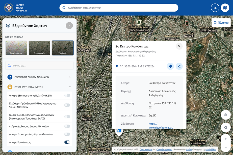
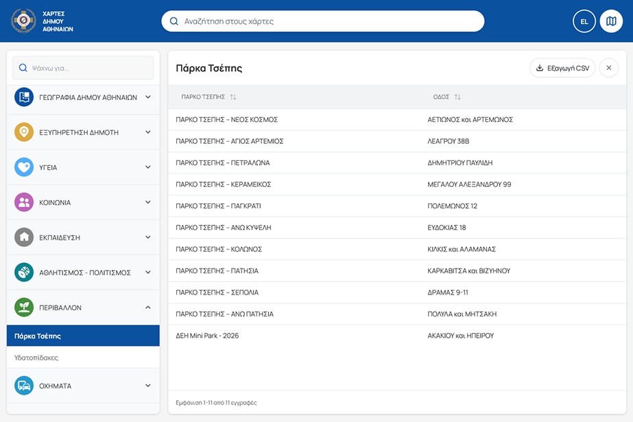
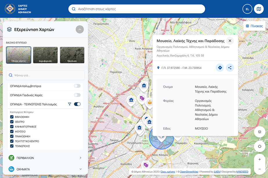
A special microsite was developed, which draws data directly from gis.cityofathens.gr and presents the information in a uniform and user-friendly manner. Visitors can select the appropriate filters to display only the information that interests them.
Integration of maps into the main webisite of Municipality of Athens
The maps were integrated into a relevant information page on the Municipality's main website (maps.cityofathens.gr), offering citizens and businesses additional levels of geospatial information. This allows users to easily locate the places they are interested in and see how they can get there.